Key Takeaways
- Small projects can substantially change how rainwater moves across an Arlington County property.
- Checking boundaries, slopes, utilities, trees, and existing drainage early can prevent costly redesigns.
- A clear plan helps homeowners, contractors, and County reviewers work from the same information.
- New roof area, pavement, grading, and soil conditions can affect stormwater requirements.
- Local rules and permit thresholds should be confirmed before construction begins.
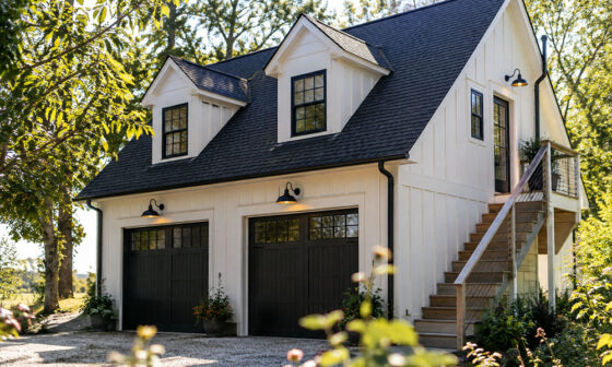
In Arlington County, a patio, addition, driveway, pool, or detached studio can affect far more than the portion of the yard where it will be built. Lots often include mature trees, established drainage routes, close neighboring homes, and limited room for construction access. Thoughtful site and grading plans help turn an initial idea into a project that fits the property and accounts for water before soil is moved.
Early planning is especially valuable where a modest elevation change can redirect runoff toward a foundation, sidewalk, alley, or adjacent yard. A project plan should show not only the proposed improvement, but also how the finished site will function during ordinary storms and heavier rain events.
Why Early Planning Matters
A construction sketch can show the desired room addition or patio, but it may not reveal whether the improvement blocks a swale, crowds a setback, conflicts with a utility, or creates a low point next to the house. Revising a layout on paper is generally easier than changing excavation, drainage piping, or retaining work after construction has started. For example, a patio that slopes toward a basement window may look level at first glance, yet create recurring drainage issues.
Projects That May Need Site Review
The amount of documentation depends on the work and the property, but a site review is often useful for home additions, replacement homes, pools, large patios, driveways, retaining walls, detached garages, substantial landscaping, and major drainage improvements. Projects that add hard surfaces or alter grades deserve particular attention because they can change runoff patterns. A survey, grading plan, stormwater document, or professional design may be needed depending on the scope and applicable County requirements.
Site Conditions to Check First
Boundaries, Setbacks, and Easements
Start with reliable property information. Proposed work should be checked against lot lines, required setbacks, recorded easements, and access areas. A fence is not always a dependable boundary marker, and building from an assumed line can create avoidable problems.
Elevation, Utilities, Trees, and Soil
Document existing buildings, visible drainage features, utility connections, and significant trees before finalizing the layout. Elevation changes influence driveway grades, accessible routes, excavation quantities, and water flow. Wet ground, compacted soil, fill, or poor infiltration can also affect whether a drainage approach will work as intended. Mature trees may influence building placement, root protection, staging, and replacement obligations.
How Grading and Drainage Shape the Plan
Grading is the shaping of land so that water moves away from vulnerable areas and toward an appropriate location for collection, infiltration, or discharge. The key questions are straightforward:
- Where does water travel during a strong storm?
- Will finished surfaces drain away from the home?
- Could a new wall, driveway, or patio interrupt an existing drainage route?
- Could runoff affect a neighbor’s property or public right-of-way?
- Does the proposed increase in roof and pavement area increase runoff?
The answer is not always a deeper trench or a larger pipe. A revised layout, planted area, shallow swale, rain garden, or suitable permeable surface may reduce runoff near its source. The best choice depends on the site, soil, maintenance needs, and permit requirements.
Stormwater Rules for Residential Work
Arlington County reviews land disturbance and stormwater impacts based on project conditions and applicable thresholds. The County’s streamlined stormwater management program describes a simplified path for certain moderate-scale single-family projects, while projects with greater impacts can require more detailed planning. Because criteria and submission procedures may change, homeowners should verify current requirements before relying on an earlier plan or a neighbor’s experience.
Stormwater planning also supports erosion control during construction. At the federal level, construction activity disturbing one acre or more, or smaller activity that is part of a larger common plan of development, may require permit coverage in areas where EPA is the permitting authority. The EPA explains how construction sites and common development plans are evaluated under its Construction General Permit program. Local requirements can still apply to smaller residential work.
What a Useful Site Plan Should Show
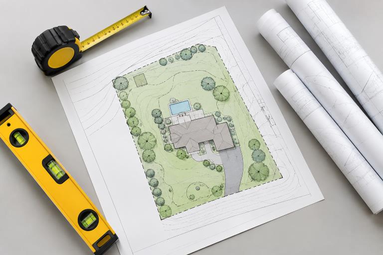
A useful plan matches the project’s complexity, but it commonly identifies:
- Property lines, dimensions, setbacks, and easements.
- Existing buildings and proposed improvements.
- Driveways, walks, patios, roofs, and other hard surfaces.
- Existing and proposed grades, drainage routes, and stormwater features.
- Relevant trees, utilities, construction access, and staging areas.
- Notes, measurements, and calculations needed to explain the design.
A Simple Permit Preparation Process
- Define the scope. List what will be built, removed, enlarged, or regraded.
- Gather records. Collect plats, surveys, prior plans, photos, and permit information.
- Review the site. Check drainage, slopes, trees, utilities, access, and nearby structures.
- Confirm requirements. Review zoning, building, tree, grading, and stormwater rules.
- Prepare one coordinated plan. Ensure that the homeowner, designer, contractor, and reviewer use consistent information.
- Allow for comments. Build time into the schedule for revisions or additional details.
Common Mistakes to Avoid
Common sources of delay include using an outdated plan, measuring from a fence, overlooking minor elevation changes, omitting utilities or easements, and showing new pavement without explaining runoff. Another avoidable mistake is treating drainage as a construction detail rather than a design decision. By the time a crew is on site, the best location for an addition, patio edge, or drainage feature may be much harder to change.
Questions Homeowners Often Ask
Does every small project need a detailed site plan?
No. Documentation varies by project type and location. However, work that changes structures, grading, drainage, or impervious area may need more detail than a simple sketch.
Can a homeowner draw the plan?
Some straightforward projects may allow homeowner-prepared drawings. More complex work can require surveyed information, engineering details, or sealed documents.
Is a site plan the same as a survey?
No. A survey documents measured property information, while a site plan shows how proposed work fits on the property. A project may use both.
Conclusion
Small residential improvements can create larger property issues when drainage, grading, access, and approvals are left until the last minute. In Arlington County, Virginia, a clear, site-specific plan helps protect the home, respect nearby properties, and give everyone involved a practical path from concept to construction.